Cranborne Chase LiDAR Portal
This LiDAR Portal has been designed so that volunteers can navigate a large area of the Cranborne Chase National Landscape from their homes and discover new archaeological sites. It was developed by the Chase & Chalke Landscape Partnership Scheme.

Access the Portal as a Volunteer
In order to access the LiDAR portal, you’ll need to register with the Chase & Chalke Volunteer Hub. This has been designed so that everyone can access the free training and opportunities available across all the Chase & Chalke projects on Cranborne Chase National Landscape.
When you’ve registered on the hub, you’ll be ready to start your journey by joining our LiDAR volunteer team.
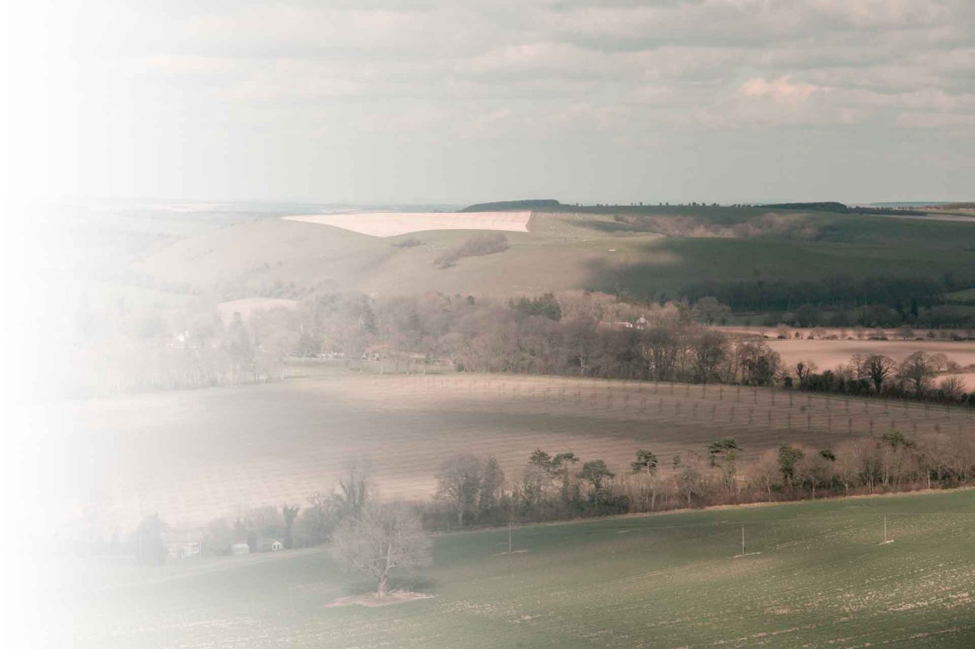
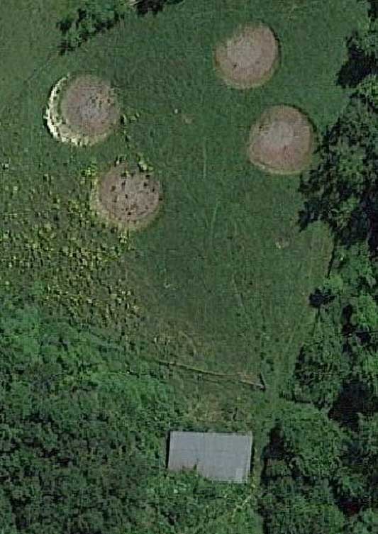
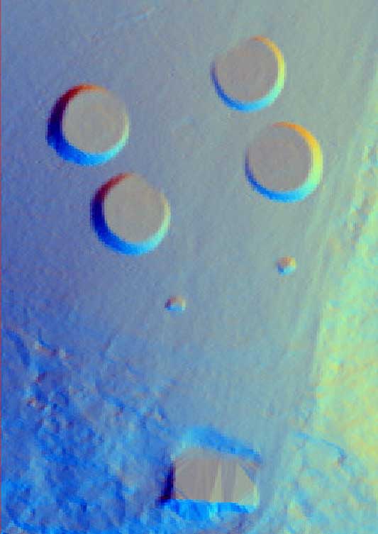
What is LiDAR?
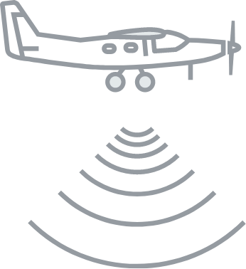
Light Detection and Ranging (LiDAR) is method of collecting geographical point data by flying over the landscape and using laser to measure height and distance. The resulting 3-dimensional map is a precise representation of the shape of the landscape and its surface characteristics.
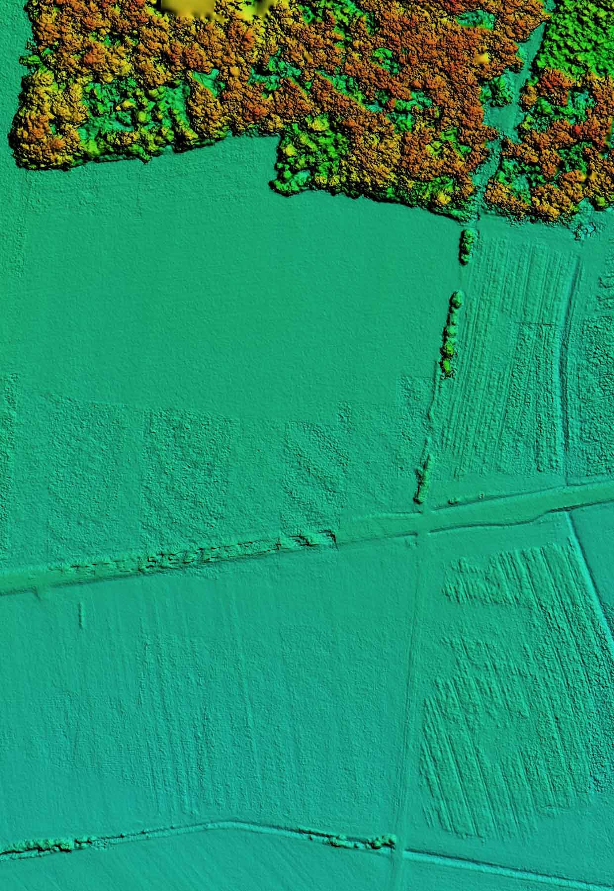
Learn to use LiDAR data
By exploring the 3D LiDAR mapping, you can identify man-made structures, see the full breadth of vegetation cover, and understand the shape of the landscape as a whole. You can digitally remove surface data to reveal long-forgotten heritage sites, such as mines or dwellings, so that archaeologists can focus their ground exploration.
Get involved
The Cranborne Chase LiDAR portal was developed as part of the Chase & Chalke project ‘Champions of the Past’, a major archaeological project which aims to provide opportunities for people to learn about and engage with archaeology.
To find out more about the project and Chase & Chalke, click below.