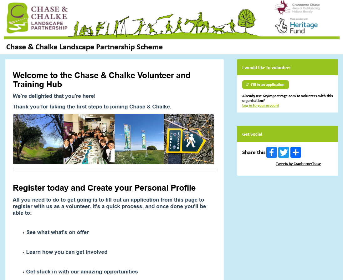
Chase & Chalke Volunteer Hub
A place for further support and opportunities
The Chase & Chalke Volunteer Hub has been developed so that everyone can see and get easy access to all the information about our free training and volunteering opportunities across all of the Chase & Chalke projects.
New members can register for free, tell us what they are interested in and then select the opportunities that suit them. Registering is really easy and through the Hub the Chase & Chalke team will be able to offer volunteers and trainees more support, training, and communications around lots of other activities and opportunities. You’ll also be invited to Chase & Chalke events become an integral part of a growing team of volunteers in the area.
We really value our volunteers’ time, as well as the energy and expertise that they bring to these projects. To make sure we can report accurately to our funders, we ask that every volunteer logs their time on the Chase & Chalke Volunteer Hub.
Registering for the Volunteer Hub is separate to joining the LiDAR citizen science team and allows you to connect to the wider Chase and Chalk Volunteer community.
Cranborne Chase LiDAR Portal Volunteering
When you have registered on the Chase & Chalke Volunteer Hub you are ready to start your volunteer journey by joining our LiDAR Citizen Science volunteer team. To do this you need to register an account on this website and complete the online training modules. When you have completed the training your account will be updated with access to the portal.
Watch the video for a step by step guide of how to join in


Step 4
Map features in the portal
Why is citizen science
important?
There have been many examples of lidar for archaeology over the last two decades but this project is the first time that the unique archaeological landscape of Cranborne Chase has been surveyed at such a high resolution. However the wealth of information in the LiDAR models needs to be captured and interpreted to be of real use to anyone wanting to understand the landscape, and this is where our amazing volunteer citizen scientists step in. The information gathered for this project will allow us to better manage and protect this special historic landscape for future generations to enjoy and explore.