Learn to use
LiDAR data
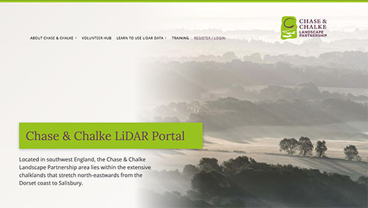
Train yourself to delve deeply into specially commissioned LiDAR data to help identify and map important new information about the Chase & Chalke Landscape Partnership area. Help us to uncover new evidence of ancient land use, settlements and other landscape features. Discover new and exciting archaeological features and monitor changes of the landscape through history.
Enrol
Enrol on your chosen course to start your learning journey to becoming a skilled volunteer citizen scientist.
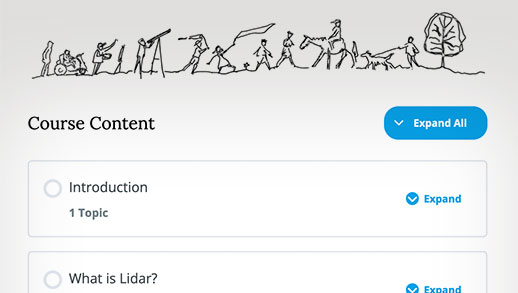
Enjoy
Your course consists of easy to follow modules and fun quizzes to test your knowledge along the way.
Earn
As you progress through the online modules, you will earn awards to signify how your knowledge and skills are increasing.
Contribute
On completing the course you will be able to explore the LiDAR portal map more deeply, and submit details for us to check.
Legacy
Your contribution will increase our knowledge of the Chase & Chalke area, its history and wildlife for better management in the future.
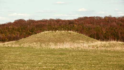
Why is it
important?
Rapidly increasing vegetation cover is obscuring recorded and unrecorded sites. This project helps us to identify, monitor the condition and better manage new and existing archaeological remains. The archaeology of ancient fields and settlements can be hard to appreciate on the ground. LiDAR can really help in our understanding and appreciation of this archaeology through incredible levels of detail and robust, innovative 3D modelling.
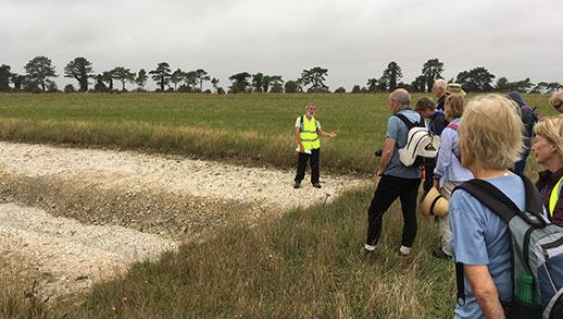
Get involved
The Cranborne Chase LiDAR portal was developed as part of the Chase & Chalke project ‘Champions of the Past’, a major archaeological project which aims to provide opportunities for people to learn about and engage with archaeology.
To find out more about the project and Chase & Chalke, click below.