— by Mike Bates —
My first introduction to Cranborne Chase was some four years ago when my daughter and family moved from Cambridge to Dorset, to live in a rented barn in the largest of the henges of Knowlton, with the henge next to it with the ruined medieval church, looking over the Chalklands to the Hillfort of Badbury Rings in the far distance. We explored from there but there is so much to see.
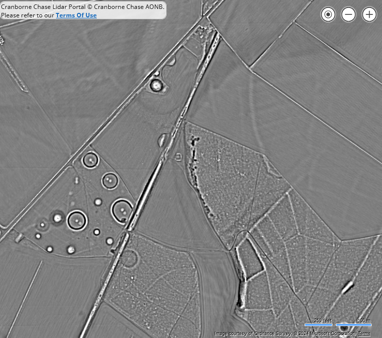
For the LiDAR Project Rebecca Bennett has put together an amazing screen package of interchange LiDAR Maps with current and Victorian OS Maps and Aerial Photography maps, with superimposed Scheduled Monument and HER Monument detail when selected. This also has the facility of recording information in a structured way for new features found by using the LiDAR. There is an excellent on-line training package of about four hours which enables the newcomer Volunteer to get started at once.
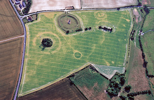
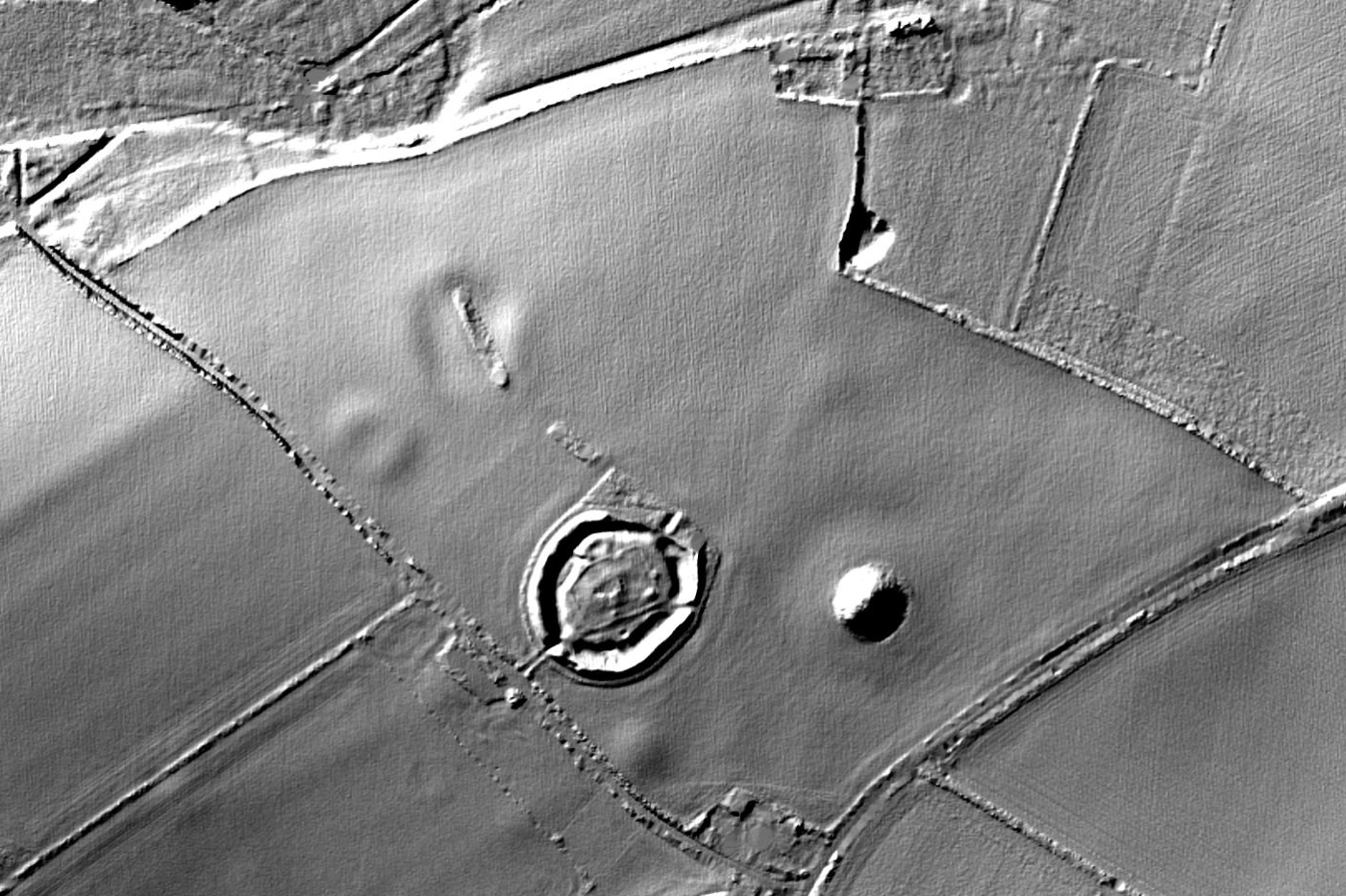
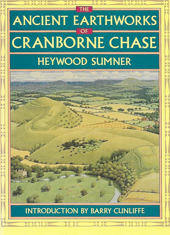
For me not knowing the area, I looked to the work of early pioneer Archaeologists, General Pitt-Rivers and associates, and Heywood Sumner for leads. I purchased, before the Project, Heywood’s book published in 1913 ‘Ancient Earthworks of Cranborne Chase’ in which he lists and describes what is known at that time and includes survey sketch maps with base of a tracing of the Victorian OS Maps. This both gives interpretation confidence and knowledge of what remained over a hundred years ago, some of which has been partly lost in the modern record.
Search of the internet gave me other work that had been done on Sites or features, including PHD Thesis write-ups.
Through the LiDAR Portal Project and Rebecca, I have interfaced with
Dr Barnabas Harris, University College London, who is currently working together with Durham University on a Project ‘Monumentality and Landscape: Linear Earthworks in Britain’, where there is some common interest.
As a fairly newcomer to History and Archaeology, I have an interest in Ancient Trackways and Roman Roads, which are key to understanding people’s migrations and movements, and gets the family involved in some amazing walks.
In Cranborne Chase there are two ancient ridgeway trackways running approximately east-west – the Ox Drove and the White Sheet Hill Ridgeway – which would have been the main routeways. The main linear defensive ditch again the Saxons invading from the east is Bokerley Dyke. Part of what I have been looking at is the subject that these trackways and the valleys to villages which also have their linear Dykes, identified by Heywood Sumners all those years ago.
My recommendation for an introduction is a visit to Martin Down. Stop at the Martin Down Car Park on the main road, read the Information Plaques, and spend a few minutes to walk down the path on that side of that road. You will be walking in the footsteps of William Stukeley, the great Antiquarian, now called Archaeologist, of the late 1700s who was amazed at the size and extent of Bokerley Dyke there. You will be seeing the landscape of the Down going into a distant view of the Chalk grasslands which one can image is near enough to what the migrating Hunter Gathers from Europe, from 10,000 years BC onwards, following the migrating herds might have seen.