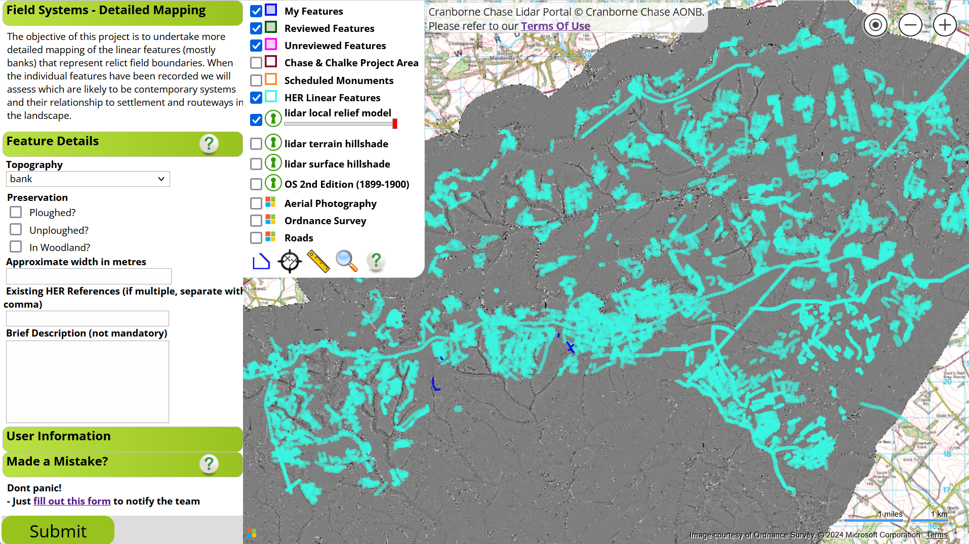
Field Boundary Mapping Project
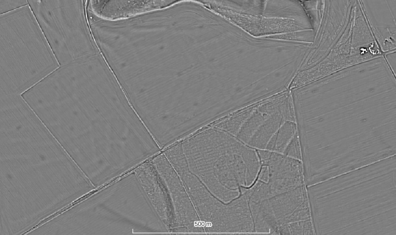
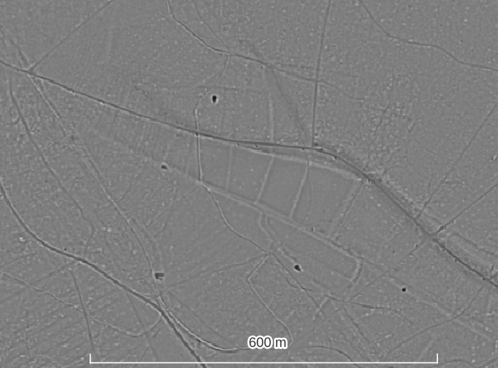
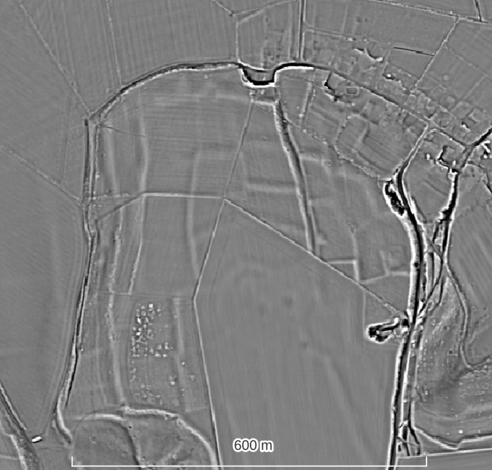
The LiDAR data show a large number of relict field boundaries and systems across the Chase and Chalke project area which volunteers and archaeologists have identified as being of interest for more detailed mapping and interpretation.
The Field Boundary Mapping Project aims to:
- create a comprehensive map of all the relict field boundaries that are extant in the LiDAR data.
- compared the boundaries mapped from the LiDAR to those noted in the HER from cropmark evidence
- interpret the pattern, orientation and style of boundaries with the aim of depicting contemporary field systems
- compare these systems to evidence for settlement and routeways across the Chase.
Field Boundary Project Training & Map
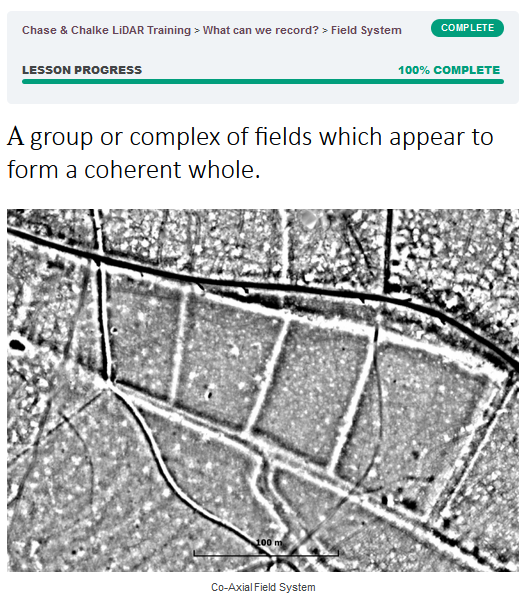
An introduction to field systems can be found in the training course where you will see that there are several subtypes. For the purpose of the initial mapping however we are simply marking the location of the bank or ditch that forms the boundary with a line and adding its approximate width and a note on its preservation (ploughed, unploughed, in woodland).
The training session video and link to the map to record chalk pits is below. Please only access the map once you have watched the video and are happy that you understand the task.
Get involved
The Cranborne Chase LiDAR portal was developed as part of the Chase & Chalke project ‘Champions of the Past’, a major archaeological project which aims to provide opportunities for people to learn about and engage with archaeology.
To find out more about the project and Chase & Chalke, click below.