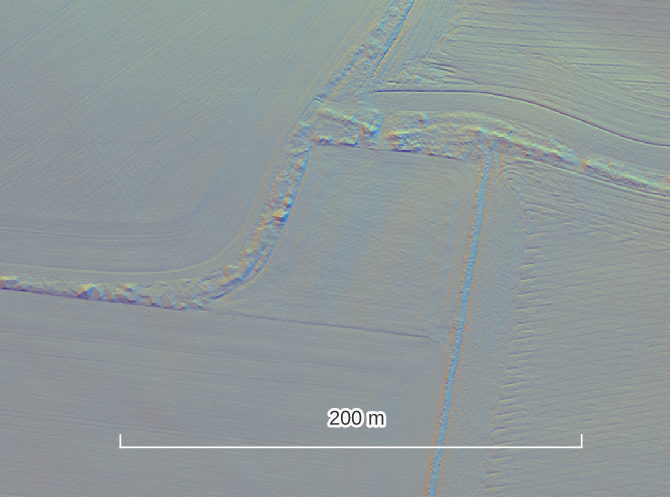
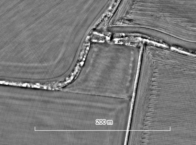
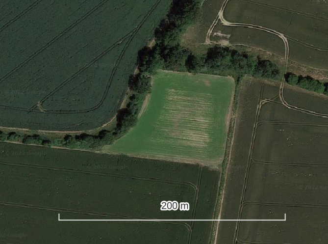
Lidar survey captures the form of a landscape at one moment in modern time, so how do we begin to understand the picture so that we can identify features of archaeological interest?
One of the best skills to practice attuning your eyes to the historic landscape is to become fluent in how modern features present in the lidar. As a general rule features of modern origin will appear:
- sharp with distinct edges and corners
- geometrically perfect
- to have a clear relationship to other modern features of the landscape, e.g roads, buildings, current field boundaries
Often your confidence in a feature being of modern origin will increase if you compare the lidar with satellite imagery, historic and modern maps for context.
Examples of Modern Features in the Hillshade, LRM and Satellite Imagery
Click on the pictures to view a larger version.
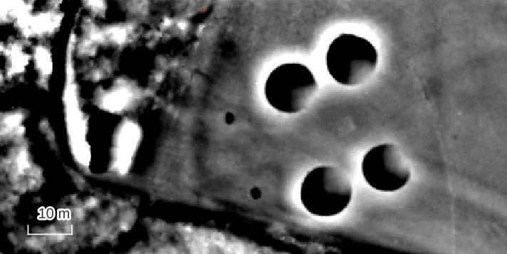
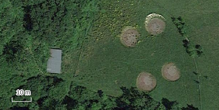
“glamping” pitches, Elcombe Copse
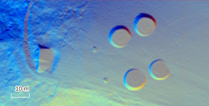
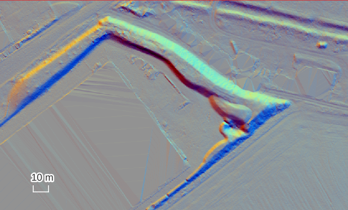
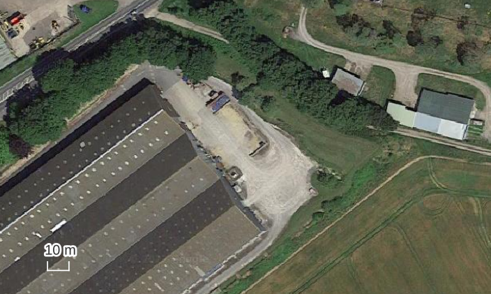
modern bund beside an industrial storage unit

modern field boundaries and plough marks