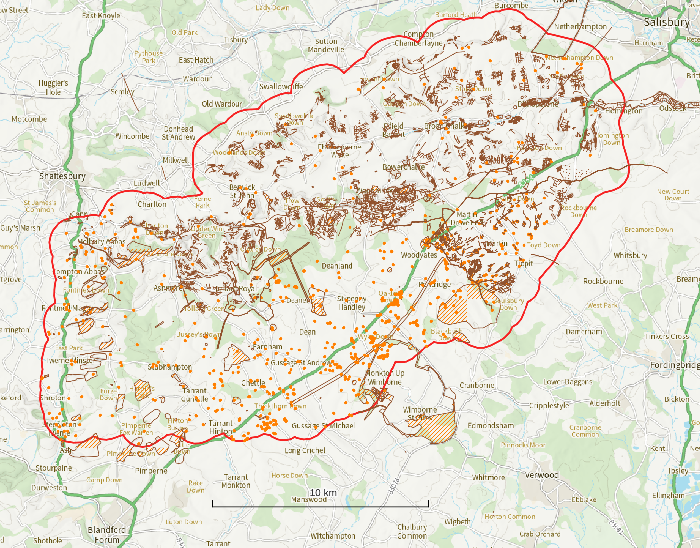
The task of understanding our historic environment is a complex one which relies on the identification of features and potential features. The public record of these features is collected and curated in the Historic Environment Record (HER) for each county to inform both archaeological research and our land management choices. By assessing the lidar data in the Cranborne Chase portal, we will be adding many more features to the HER database.
The very best thing about looking at lidar is taking on the challenge of unravelling the landscape to identify features that might relate to past human activity. This section of the course provides guidance on the sorts of features you would expect to encounter in lidar data of this landscape. It is based on the existing HER records and a professional sample lidar transcription to help you build confidence in your identifications.
Click on Don’t Sweat the Interpretation to get started.
Once you have completed all the steps in this lesson, remember to scroll to the bottom of this page to click the ‘Mark Complete’ button and continue to the next lesson.