— by Rebecca Bennett —

2025 saw the official end of the Chase and Chalke project but nevertheless it was another active year for the volunteer group that formed around the lidar portal project as they continued to use their skills to better understand the landscape of Chase. Through the spring online volunteers completed a project that mapped over 7800 relict field boundaries from the lidar data, mapping out the physical remains of the history of farming and cultivation since the late prehistoric.
Meanwhile geophysical surveyors braved the February cold to capture gradiometry data that confirmed the presence and form of an Iron Age enclosure that was spotted by an eagle-eyed volunteer in aerial imagery.
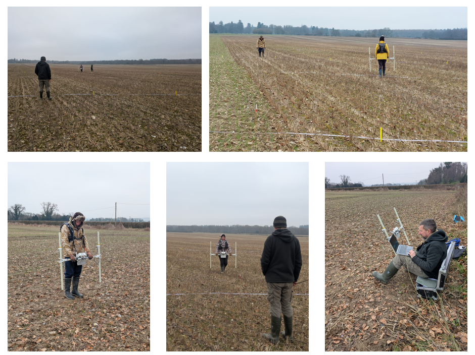
Volunteers surveying Woodcuts on a very cold weekend in February 2025!
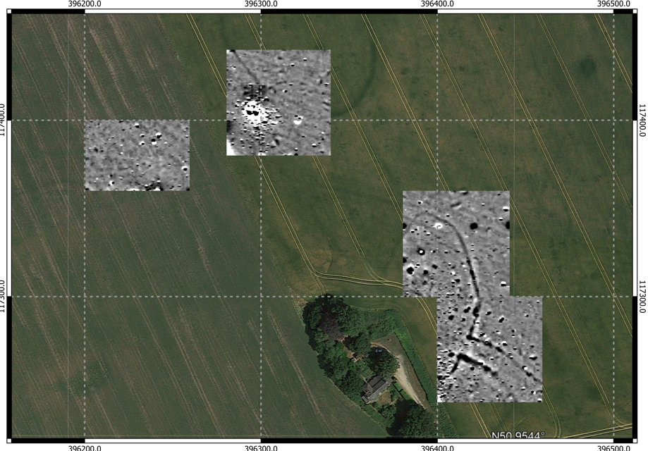
The enclosure at Woodcutts as shown on Bing aerial photography and in gradiometry data © Peter Briggs and Lesley Self
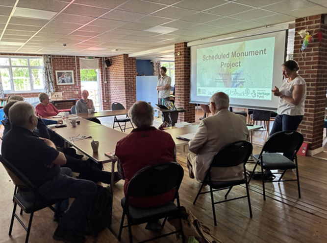
Scheduled Monument Project
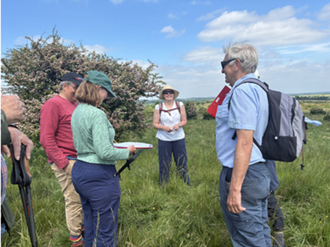
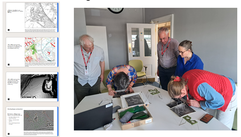
In May we launched a project in collaboration with Historic England to assess the preservation of the 190 Scheduled Monuments in the Chase and Chalke area. Many of these sites were first recorded a long time ago, and have not been monitored in any routine way for the last decade. The CC archaeology volunteers are ideally skilled to make observations on the preservation of theses features from the lidar and also in the field.
Nick Croxon of Historic England joined us for field training days in May, which are always brilliant opportunity to collaborate and learn new skills.
Work on the Scheduled Monuments project continued through 2025, with 127 sites assessed in the online mapper by the end of the year and site visits planned for 2026.
Visit to the Historic England Archive, Swindon
Volunteers were able to continue with work on a range of special interest topics including taking a visit to the Historic England aerial archive to talk with experts there about the evidence of marling, and important agricultural practice.
They also produced a fully digitised spreadsheet of the tithe apportionments, allowing a new level of interrogation of this important 19th Century resource. The spreadsheet has already been shared with Wiltshire Archaeology and Natural History Society and the team have plans to digitise the apportionment locations to create an interactive map.
Through the autumn volunteers were supported in producing more extensive write-ups including a literature review of the archaeology of Knowlton and a published paper summarising the work on chalk pits.
They are also building connections and collaborations with other local societies, working with AVAS to complement their existing investigative work on long barrows and lending their expertise to help start a scheduled monuments project with EDAS.
In all a tremendously busy and interesting year! We are all looking forward to building on the existing skills and invite new volunteers to join us to look at the lidar data for the whole Cranborne Chase National landscape in an expansion of the portal in 2026.