— by Rebecca Bennett — In August I was asked to give a talk at the fabulous Curious Cursus event, which sadly due to family commitments I couldn’t attend in person. My…
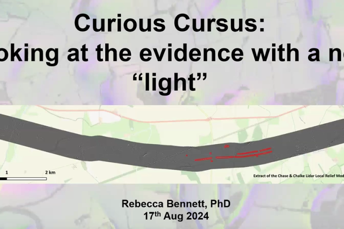
Chase & Chalke Landscape Partnership
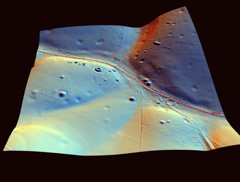
Explore LiDAR datasets from Cranborne Chase