Chalk Pits Mapping Project
As part of the lidar mapping project and field visits, a very large number of regularly spaced pits have been noticed across the Chase & Chalke project area.
While pits are a common feature of the chalk downlands of southern England, the quantity and distribution of pits in the Cranborne Chase area is demonstrably different to those in similar environments.
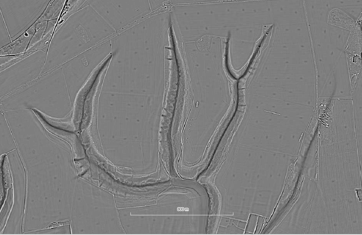
The origin of these features is unclear and so to understand them better we have created a simple map to quickly capture their distribution. This will allow us to compare them to other data sources including the surface and bedrock geology, topography, historic land ownership and field boundaries. By collecting simple attributes we will also be able to see there is any pattern of sub-categories that may help us distinguish form and function.
There are currently two main theories as to the origins of the pits:
- anti-landing defences
- agricultural practice of liming / marling
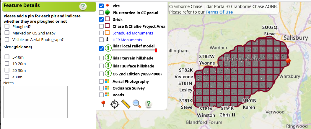
In February 2024 a group of 10 volunteers began a project to map the pits and in doing so hopefully discover more about their origins.
Chalk Pits Project Training & Map
The training session video and link to the map to record chalk pits is below.
Please only access the map once you have watched the video and are happy that you understand the task.
Get involved
The Cranborne Chase LiDAR portal was developed as part of the Chase & Chalke project ‘Champions of the Past’, a major archaeological project which aims to provide opportunities for people to learn about and engage with archaeology.
To find out more about the project and Chase & Chalke, click below.