Congratulations, you have completed the Cranborne Chase Lidar Portal training course!
We know that was a lot of information, so don’t be afraid to come back and re-read the sections at any point. You can also download a pdf of the Portal Instructions from the last section to save to your computer or print.
You now should feel ready to read this incredible landscape using the lidar data but if you have any questions please don’t hesitate to email portal manager Rebecca.
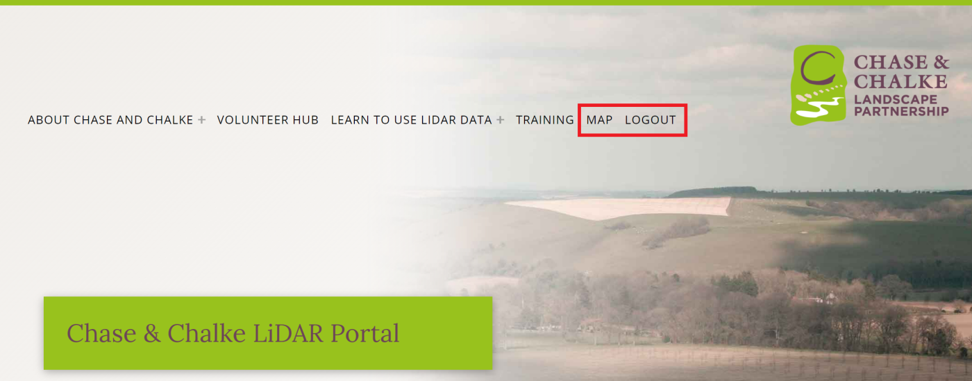
Accessing the Lidar Map
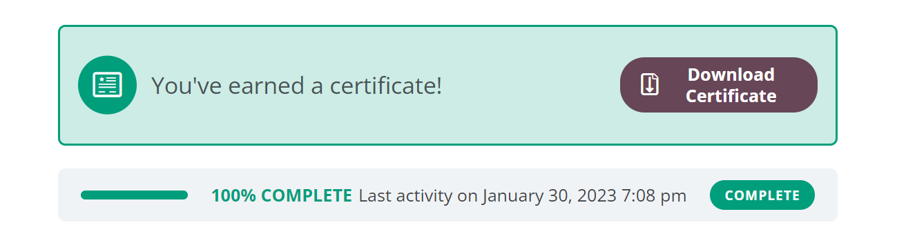
Once you have completed all the modules (make sure you mark each topic as complete using the button at the bottom of the page!) you can download your certificate from the training home page.
The lidar map link in the top menu will be activated and you can use this to access the map when logged in. Remember you need to be logged into your account on this website to access the map!
Further Resources
Below are some useful resources if you want to know more about lidar and the archaeology of Cranborne Chase.
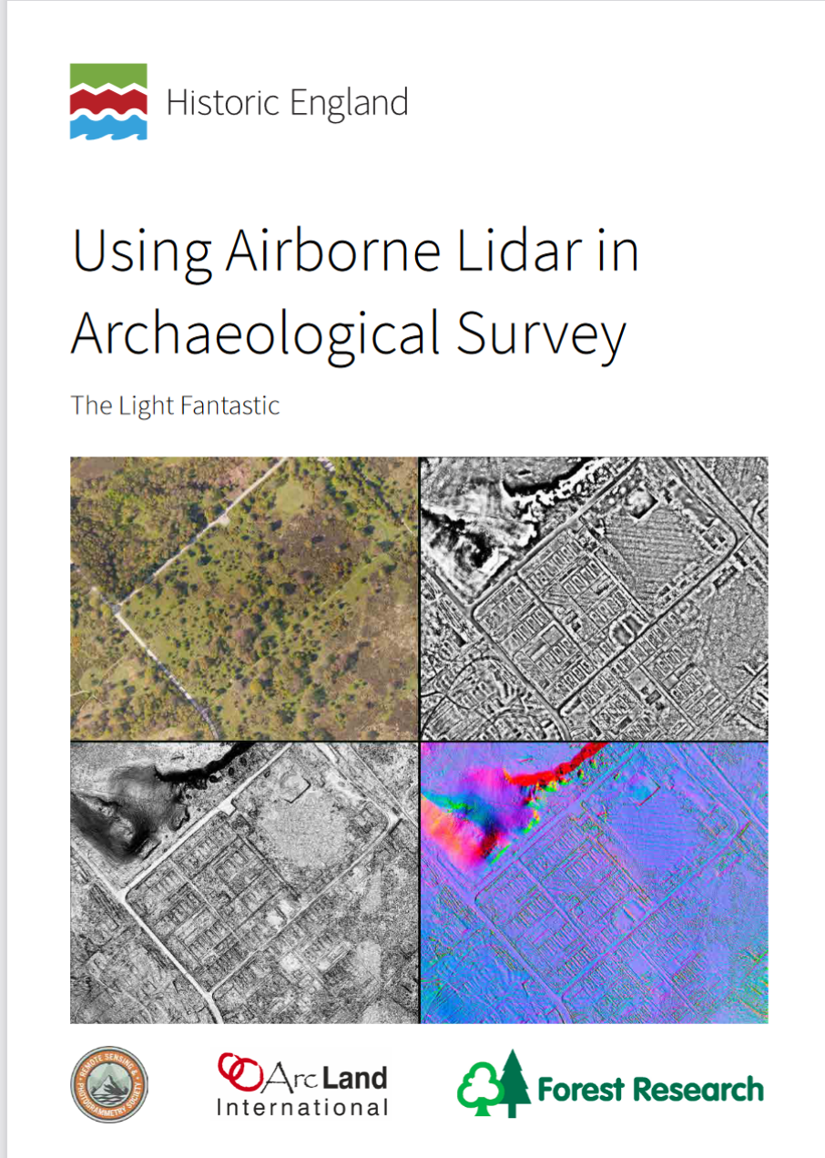
Using Airborne Lidar in Archaeological Survey
Historic England, 2018
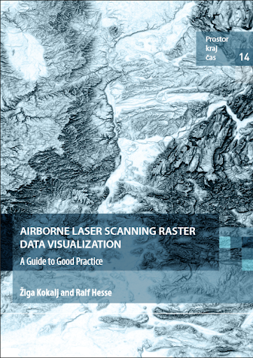
Airborne laser scanning raster data visualization: A Guide to Good Practice
Žiga Kokalj, Ralf Hesse, 2017
Download ebook: https://omp.zrc-sazu.si/zalozba/catalog/book/824
Purchase hard copy (£12): https://www.pushingthesensors.com/product/als_good_practice/
Remember to click the ‘Mark Complete’ button to complete the course.