Working together with the HER officers and a specialist in archaeological interpretation we have collated nine broad categories of features that you will see in the Cranborne Chase lidar data. Remember this means that they are the sorts of features that are likely to have upstanding remains, detectable by lidar survey not a complete list of all known feature types!
Over the following pages you will see examples of features that fall into the following categories. Take time to read the introductory text for each category and browse the examples, but don’t forget that the feature type information is here for you to come back to at any time during your volunteering.
- Bank (Earthwork)
- Ditch
- Enclosure
- Field Systems
- Mound
- Pit/Hollow
- Routeway
- Settlement
- Uncertain / Other

A note about time…
We often think of HER records as as representing the deep past, the Bronze Age for example, but to understand the way our landscape has changed and conserve it for the future we need to map relevant features of all periods. This includes features originating in the twentieth century where these speak to an activity that isn’t well documented elsewhere.
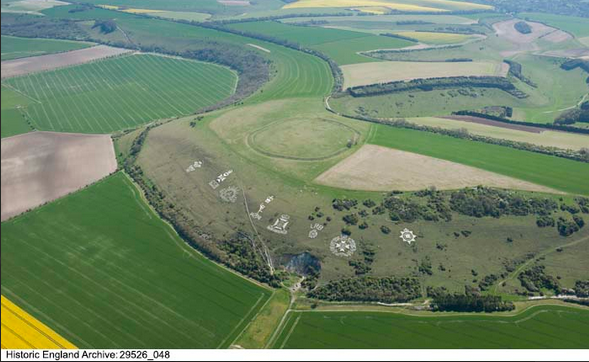
An example of this would be the chalk figures created by soldiers billeted in the area, practice trenches or anti-landing defences. Even for relatively well-known activities, the evidence in the lidar data can often add great detail to the archaeological record.

