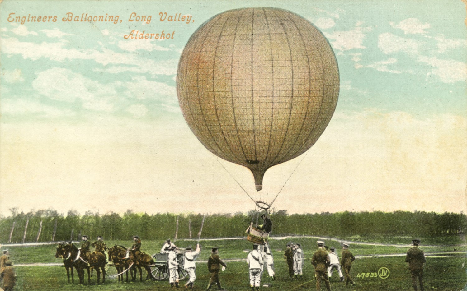
The use of aerial photographs has a long history in archaeology, in fact one of the earliest known aerial photographs was of Stonehenge in 1906 (taken by 2nd Lt Philip Henry Sharpe of the Royal Engineers from one of their military reconnaissance balloons).

Through out the 20th century using aerial photographs to capture a birds-eye view of the landscape revolutionised our understanding of the archaeological monuments and features we identified in it. It allowed us to map detail that was previously unthinkable and to understand the connections between sites.
The technique is so useful that to this day Historic England, Historic Environment Scotland and the Royal Commission for Ancient and Historical Monuments Wales all have a dedicated aerial survey team that capture and assess new imagery every year.

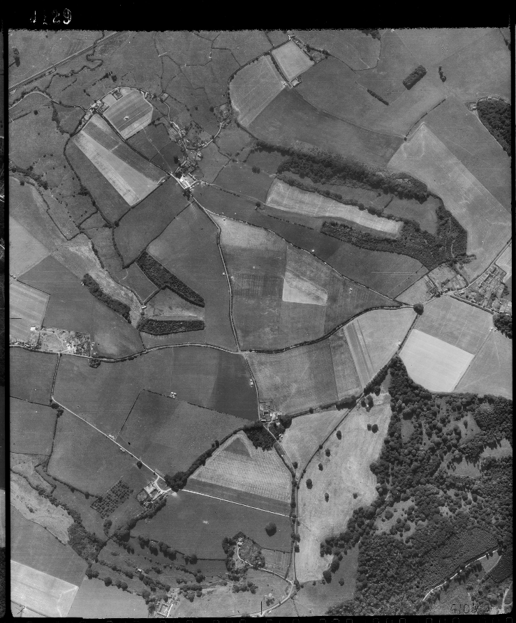
There are two main types of aerial imagery, vertical and oblique. Archaeological features can be seen in both types of photography. Vertical images give broad coverage of a landscape and obliques are used to capture detail of specific sites.