One of the big advantages of using lidar derived models over traditional aerial photography survey is that lidar allows us to “see through” vegetation. It’s important to note that the laser can’t pass through objects (in the way that an x-ray can for example) but rather that is is able to go wherever light can. This means that in wooded areas, even though lots of points are reflected off the trees, many of the laser returns can make it to the ground surface. Using just these points and removing the points that hit vegetation, allows us to model the ground below the woodland.
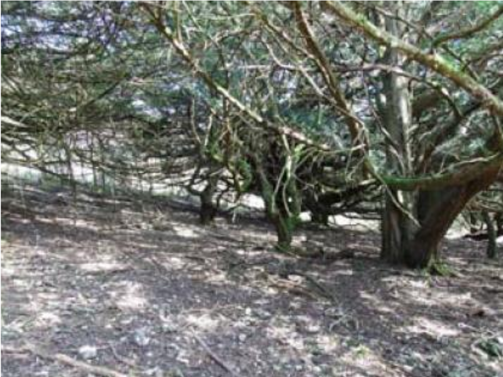
The Japanese concept of komorebi, “the sunlight shining through the trees” is a good way to imagine how the laser can pass through the canopy to record ground points.
The time of year for lidar survey affects the number of ground points that can be recorded under wooded areas. Therefore to get the best quality data you need to fly your lidar survey in the winter, leaf-off conditions.
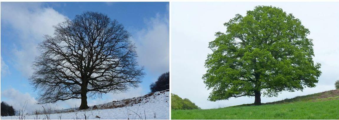
leaf-off and leaf-on conditions (images © J. Hagelüken)
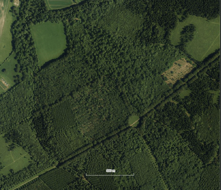
Watch the animation below to see how the features under the canopy at Chase Woods are revealed in the lidar
First you see the aerial image, then the surface model (DSM), then the terrain model (DTM). Finally you see a specialist visualisation the local relief model (you’ll find out more about that over the next few pages).