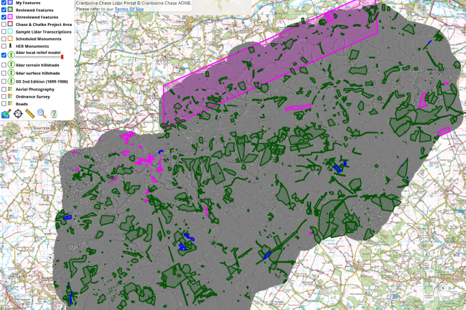
— by Mike Bates — LiDAR stands for Light Detection and Ranging. The survey technique uses laser scanners mounted to light aircraft to send thousands of pulses to the ground to record…
Chase & Chalke Landscape Partnership
Explore LiDAR datasets from Cranborne Chase