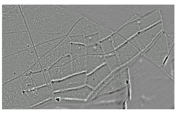
— by Vivienne Blandford & Rebecca Bennett — When considering the nature of the pits we have identified in the LiDAR of the Chase it is useful to compare their pattern and…
Chase & Chalke Landscape Partnership
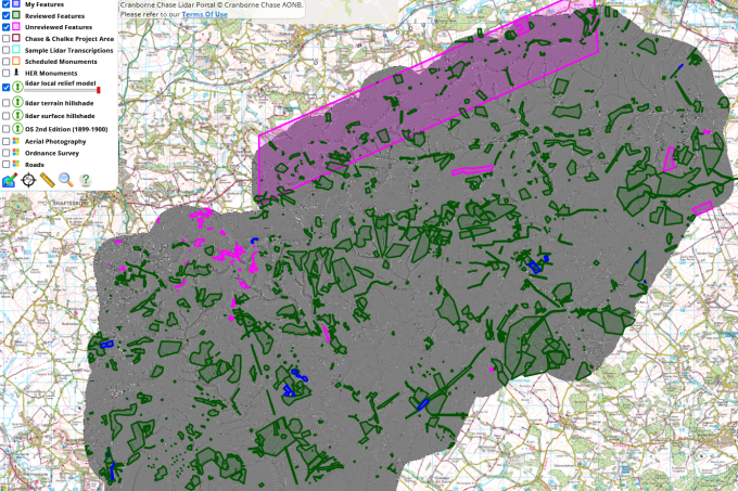
Explore LiDAR datasets from Cranborne Chase