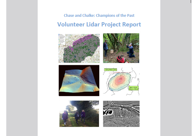
— by Rebecca Bennett — As part of the official legacy of the lidar project we produced a summary report that was submitted (along with the project datasets) to the Dorset, Hampshire…
Chase & Chalke Landscape Partnership
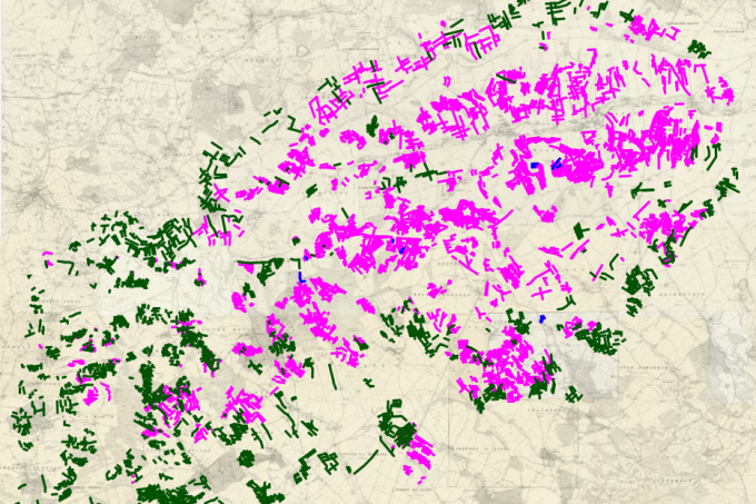
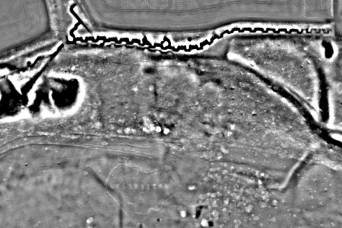
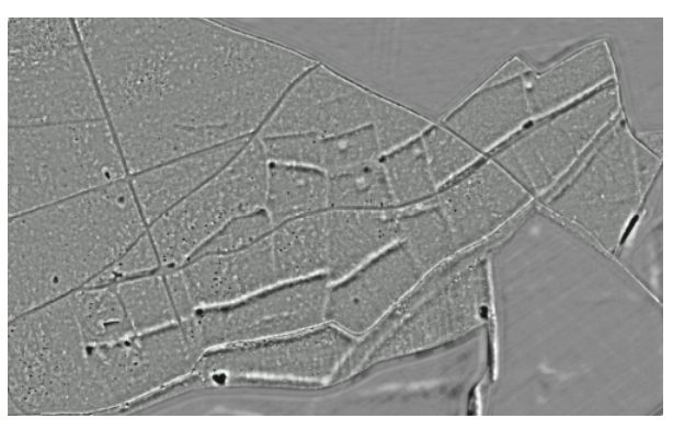
Explore LiDAR datasets from Cranborne Chase